2020–2021 · Gjerdrum
How quickly can drone data become something the people running the rescue operation can actually use?
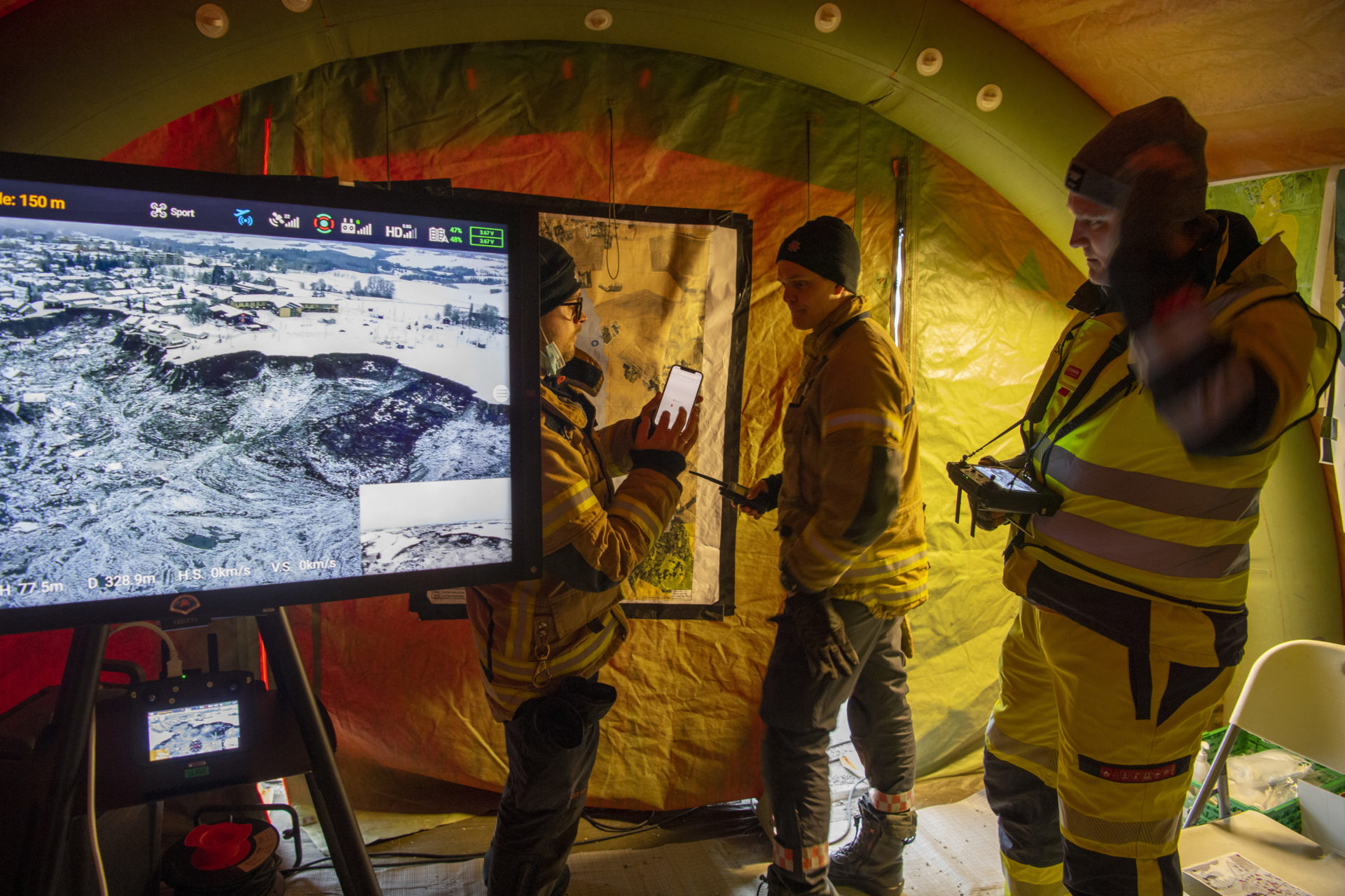
During the landslide response, I was part of the Andøya Space drone team on site from 30 December. My work was to turn drone flights into information the rescue organisation could use quickly: live video, thermal searches, maps and 3D models shared with incident leaders, geologists and other responders.
At the busiest points, several missions were running in parallel while drones, helicopters and emergency services shared the same operational area. The drone itself was only one part of the job. The real challenge was getting useful information from the air to the people making decisions on the ground fast enough to matter.